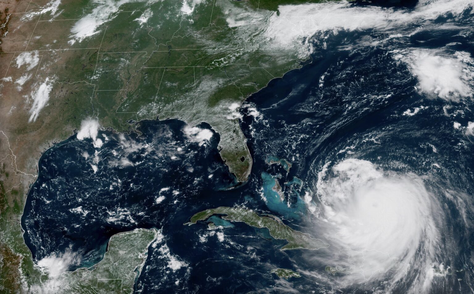
Hurricane Erin has re-strengthened into a powerful Category 4 storm, bringing sustained winds of 140 mph and threatening shipping routes across the western Atlantic.
The National Hurricane Center (NHC) reported Monday, August 18, that Erin was positioned about 110 miles north of Grand Turk Island and 880 miles southeast of Cape Hatteras, North Carolina. Moving west-northwest at 10 mph, it is expected to track between Bermuda and the U.S. East Coast midweek.
Hurricane-force winds extend 80 miles from its center, while tropical-storm-force winds reach more than 200 miles. With central pressure down to 935 mb, forecasters say Erin will likely remain a major hurricane through the week.
Maritime data cited by GCaptain shows vessels diverting routes to avoid the storm, while warnings remain in effect for the Turks and Caicos and parts of the Bahamas. The NHC also cautions that swells from Erin will impact Bermuda, the Bahamas, the U.S. East Coast, and Atlantic Canada, producing dangerous surf and rip currents.
Erin briefly reached Category 5 over the weekend before weakening slightly, underscoring its volatility. The Outer Banks of North Carolina and Bermuda are urged to prepare for tropical storm conditions and coastal flooding by midweek.
Picture: NOAA